Exhibition 1 is a long-term Cape Town public transport photography project documenting the daily movement of people through the city’s bus, taxi and rail networks. The photographs were taken over a period of seven years and focus on commuters stopping at stations, getting off minibus taxis and moving through the City Bowl and the southern suburbs of Cape Town. The project is concerned with three interconnected subjects: the daily commute and its rituals, the youth and how they navigate urban space, and the way that past and present spatial segregation continues to affect and shape the people of Cape Town.

A City Designed for Separation
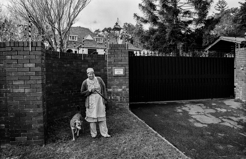
Cape Town’s public transport system is not a neutral piece of infrastructure. It is, in many ways, a direct inheritance of apartheid-era urban planning. To understand this Cape Town public transport photography project, it is necessary to understand the spatial history of the city itself. As South African History Online documents in their research on how the Group Areas Act shaped spaces, memories and identities in Cape Town (sahistory.org.za), the cornerstone of the 1950 legislation was to prevent interracial contact while ensuring that white South Africans were privileged with exclusive rights to prime property. SAHO notes that some four million South Africans were forcibly removed from their homes nationally. For those classified as Coloured in Cape Town, the options were limited: leaving their homes in centrally located areas and being moved to distantly located townships like Manenberg, Hanover Park and Mitchell’s Plain.
The destruction of District Six remains the most visible example. According to SAHO’s history of District Six (sahistory.org.za), the area was declared a white group area on 11 February 1966 and by 1982 the life of the community was over. More than 60,000 people were forcibly removed to the Cape Flats and their houses were flattened by bulldozers. SAHO records that District Six had been a multi-racial, working-class area just off the centre of Cape Town, representative of diversity on multiple levels: language, religion, economic class and geographical origin. Its destruction created a gaping hole in the landscape that remains largely vacant today, a physical reminder of what the Group Areas Act took.
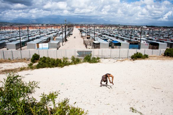
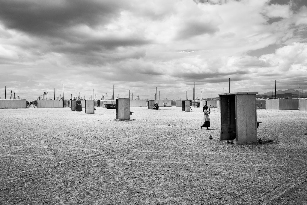
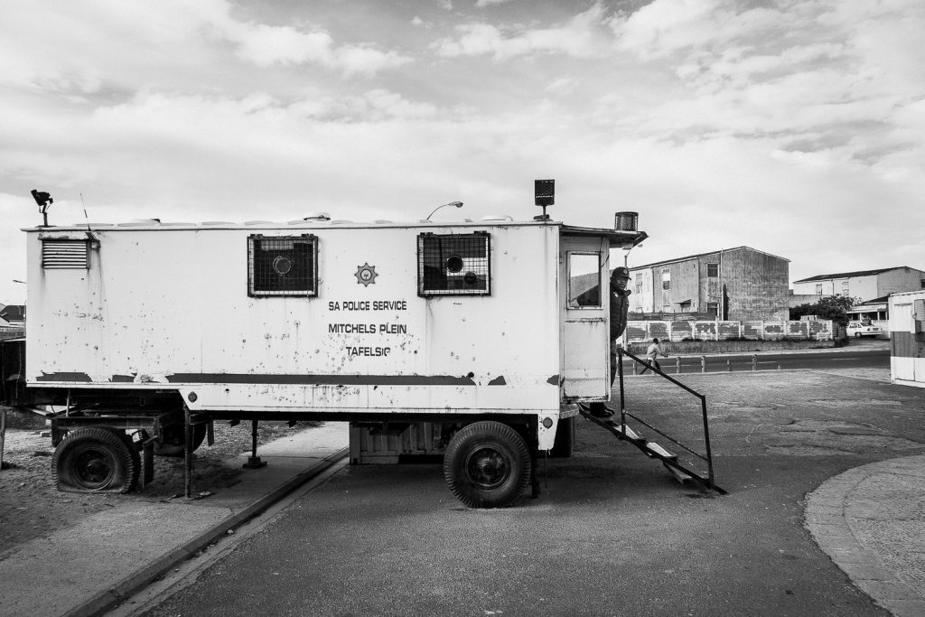
Many of those removed from District Six were relocated to Mitchell’s Plain. According to SAHO’s history of the township (sahistory.org.za), Mitchell’s Plain was laid out as an area for Coloured residents approximately 30 kilometres from the city centre. Parts of it quickly deteriorated. The township today houses close to a million residents from a diversity of class and backgrounds, but its distance from the economic centre of Cape Town means that daily commuting is a fundamental condition of working life for its residents.
The Townships and the Commute
The geography of forced removal shaped the geography of the commute. The townships that this Cape Town public transport photography project documents are all products of apartheid spatial planning. According to SAHO’s records, Langa, established in 1927, is Cape Town’s oldest Black township, situated just off the N2 highway about 20 minutes from the city centre. It was designated as a neighbourhood for Black Africans long before the formal apartheid system was implemented. SAHO’s history of Khayelitsha (sahistory.org.za) records that the township was established in 1985 when the Minister of Cooperation and Development announced that all so-called “legal” residents of the Cape Peninsula would be housed in a new site between the N2 and False Bay. The settlement began as a tented town. Due to the immense influx of people, it grew into the second largest Black township in South Africa after Soweto. Gugulethu and Nyanga were similarly established to accommodate Black residents who the city needed for labour but did not want living near white areas.
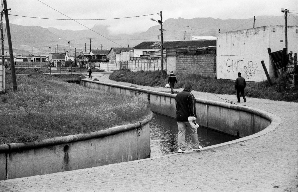
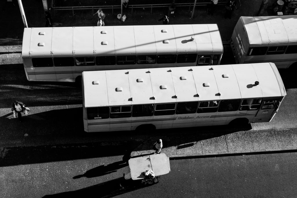
Although the Group Areas Act was repealed in 1991, the spatial logic it created remains largely intact more than three decades later. The distances have not changed. The bus routes have not changed. The economics of commuting have not changed. A resident of Khayelitsha or Mitchell’s Plain working in the City Bowl may spend three to four hours in transit each day, depending on traffic and the reliability of Golden Arrow buses, Metrorail trains or minibus taxis. The cost of transport consumes a disproportionate share of household income for working-class families. The Metrorail network, which serves many of the same routes, has been plagued by cable theft, arson attacks on trains and stations, and decades of infrastructure decay, leading to frequent cancellations and dangerously overcrowded services on the lines that do operate.
The Intimacy of Transit
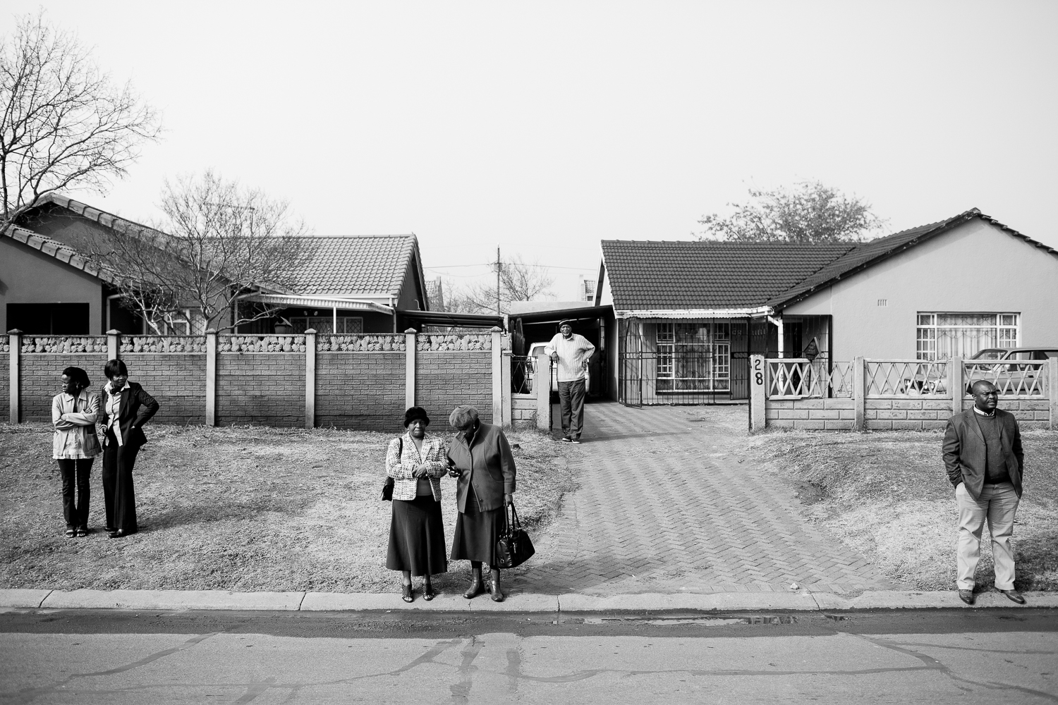
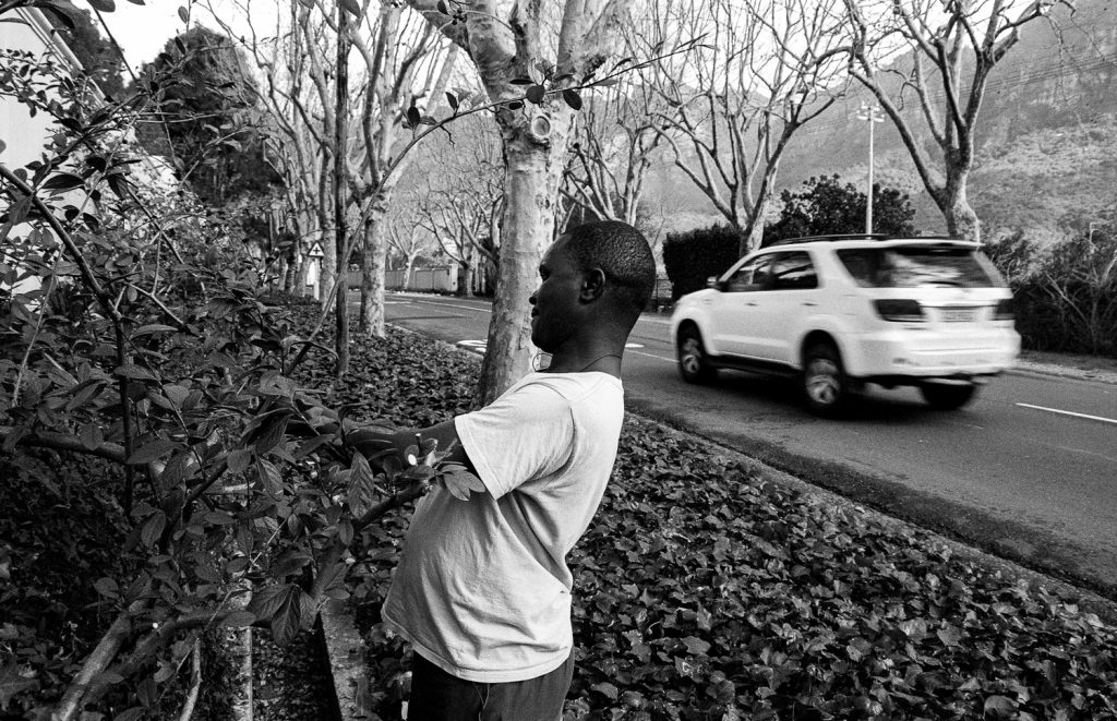
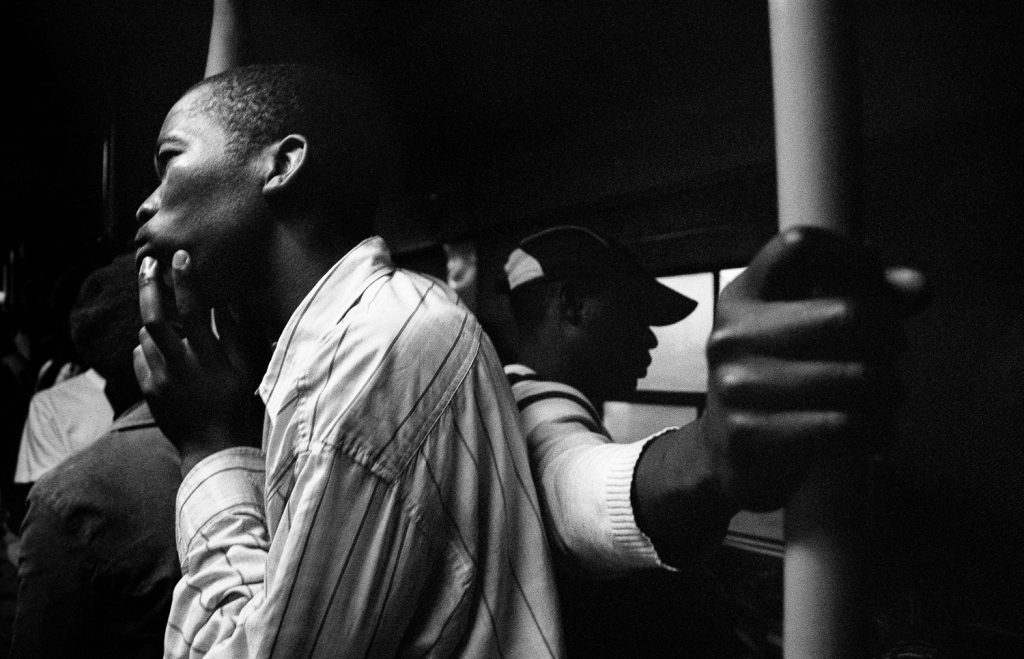
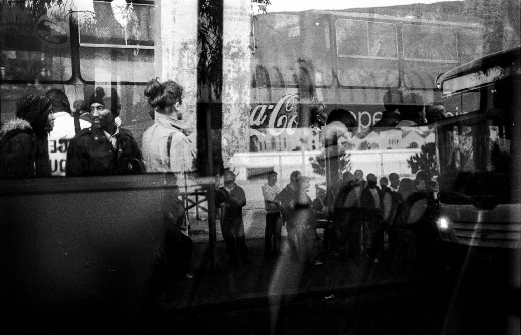
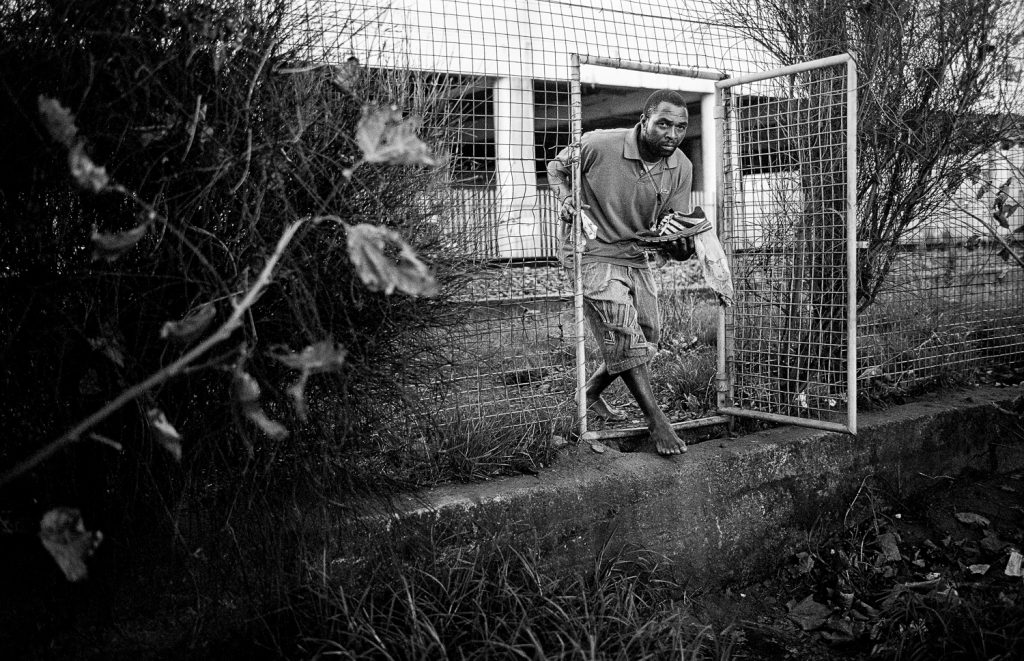
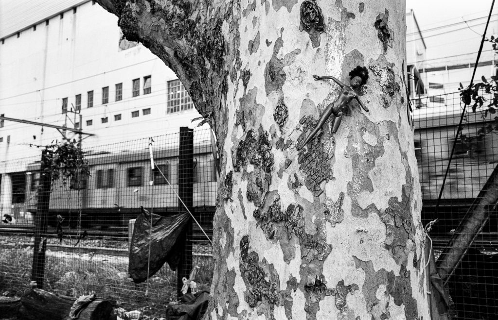
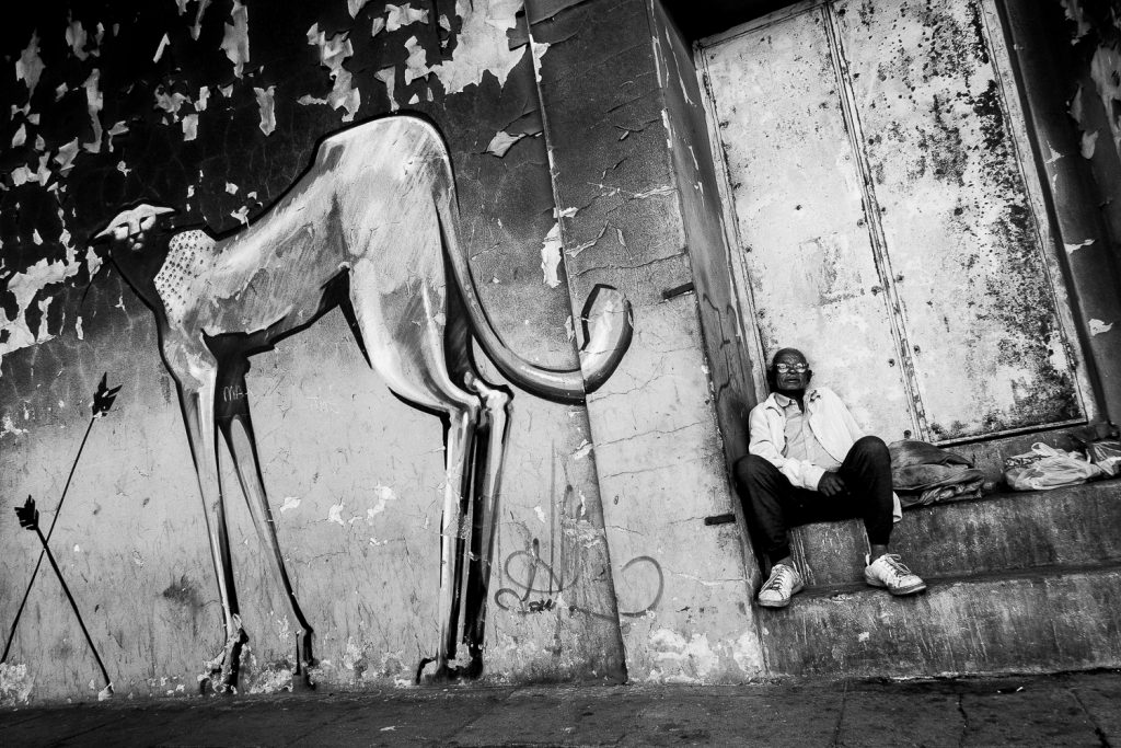
In those hours of transit, something else happens. People read newspapers. They sleep. They talk to strangers. They eat. They argue. They flirt. They stare out of windows at a landscape they have seen thousands of times before. There is an ordinary intimacy to public transport in Cape Town that this photography project seeks to document. The bus or the taxi or the train is one of the few spaces in the city where racial and economic divisions temporarily compress. People from vastly different circumstances share a seat or a standing-room carriage for the duration of a journey. A domestic worker from Khayelitsha sits next to a student from Rondebosch. A construction worker from Gugulethu stands beside a shop assistant from Mitchell’s Plain. For the length of the ride, the city’s segregation is suspended. Not resolved. Suspended. And then, at the destination, everyone returns to the geography that apartheid built and that the post-apartheid city has not yet undone.

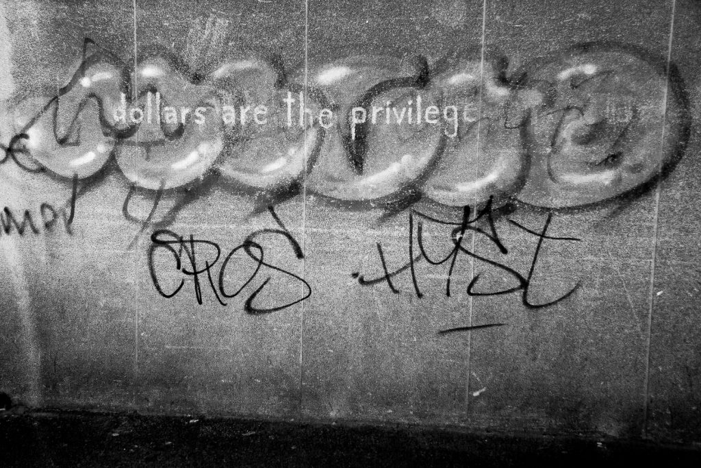
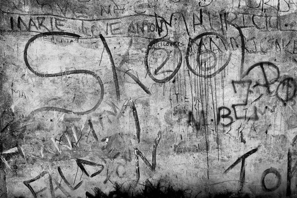
This Cape Town public transport photography project also documents the infrastructure itself: the stations, the platforms, the signage, the ticket windows, the worn surfaces of places designed for function rather than comfort. These spaces carry their own visual language. They are marked by the passage of millions of commuters over years and decades. Paint peels. Benches are polished smooth by use. Timetables are sun-faded and out of date. The infrastructure tells its own story about investment and neglect, about who the city builds for and who it simply moves through.
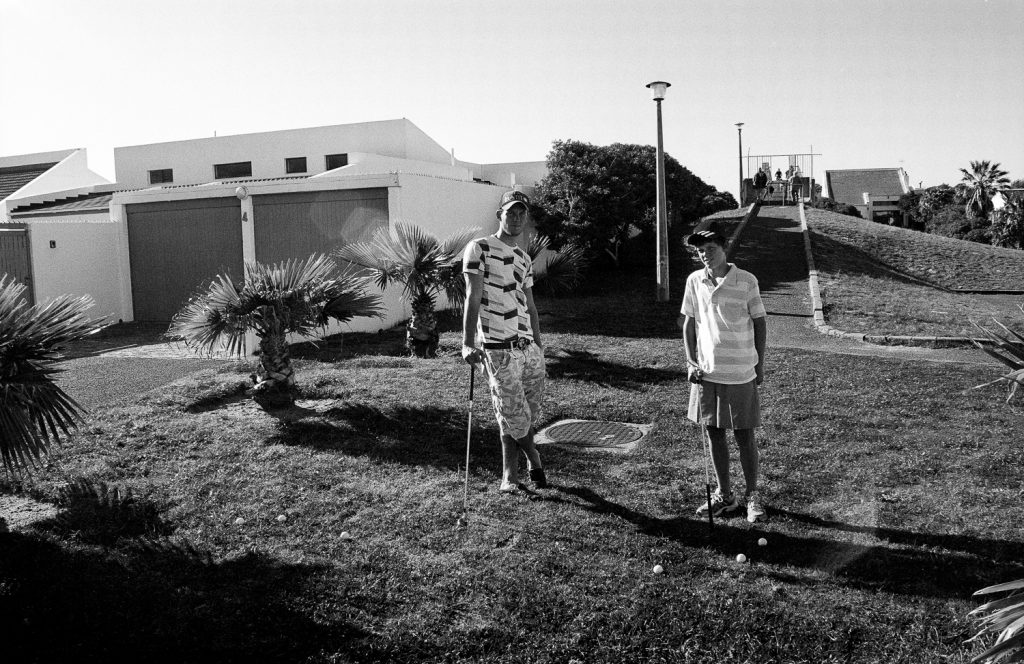
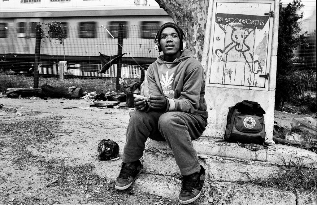
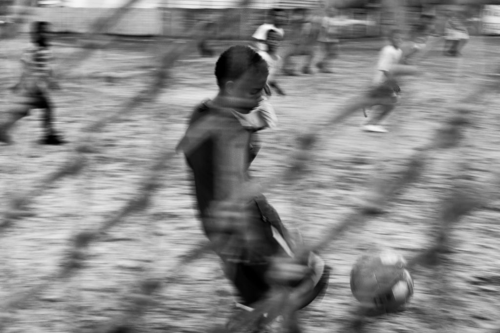
The Youth in Transit
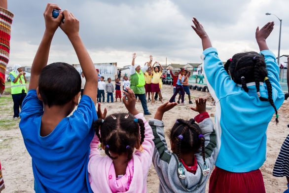
A significant thread in this Cape Town public transport photography project concerns the youth. Young people in Cape Town navigate the same distances as their parents, but they do it differently. School commutes from the Cape Flats into the southern suburbs can take an hour or more each way. Teenagers in school uniforms fill minibus taxis at six in the morning, half asleep, bags on their laps. University students from Khayelitsha travel to the University of Cape Town campus on the slopes of Devil’s Peak, a journey that crosses not just distance but the entire social topography of the city. How young people occupy and move through urban space, how they claim parts of the city that were not designed with them in mind, and how they exist in the in-between spaces of transit are all concerns of this project. The commute is not just a logistical problem. For the youth, it is a daily negotiation with a city that was built to exclude them.

Exhibition History
Exhibition 1 was shown as a solo exhibition at The Godden Gallery in Cape Town in 2016 and as part of the group exhibition Echoing Voices From Within at the University of Cape Town the same year. Earlier related Cape Town public transport photography was exhibited at the AVA Gallery in 2012 as part of the show 3 and a Half Metres: Committee’s Choice, and as a solo exhibition titled In Transit in 2012. The project was also included in the Bonani Africa 2010 Festival of Documentary Photography. The work has been featured by National Geographic, The Economist, VISI Magazine and other publications.
This Cape Town public transport photography project is not finished. The commute continues. The distances remain. The people change, but the system that moves them does not. Exhibition 1 is a record of what that system looks like from the inside, through the eyes of the people who use it every day.


Outbound Links:
- Group Areas Act and Cape Town identity (SAHO): https://sahistory.org.za/article/how-group-areas-act-shaped-spaces-memories-and-identities-cape-town
- District Six (SAHO): https://sahistory.org.za/place/district-six-cape-town
- Khayelitsha Township (SAHO): https://sahistory.org.za/place/khayelitsha-township
- Langa Township (SAHO): https://sahistory.org.za/place/township-tours-cape-town
- Mitchell’s Plain (SAHO): https://sahistory.org.za/place/mitchells-plain-cape-flats
- Forced Removals in South Africa (SAHO): https://sahistory.org.za/article/forced-removals-south-africa
- Golden Arrow Bus Services: https://en.wikipedia.org/wiki/Golden_Arrow_Bus_Services
- Metrorail Western Cape: https://en.wikipedia.org/wiki/Metrorail_(South_Africa)